Slum Land Titling
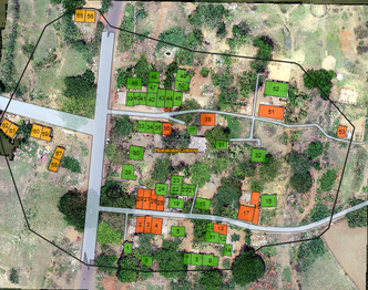
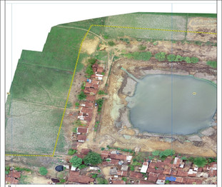
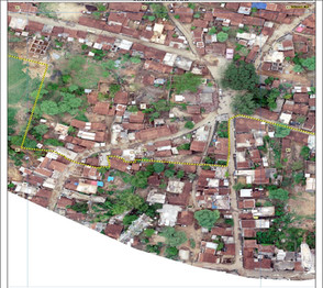
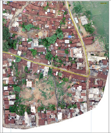
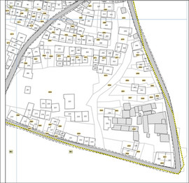
Govt. of Odisha recognized the contribution of the urban poor and took the help of SPARC to map slum-occupied lands, using advanced drone technology to create detailed maps and integrating them into a GIS system.
The result was a comprehensive assessment of land rights for more than 2 million slum dwellers, covering 3000+ slums across 114 ULBs (Urban Local Body) of Odisha - all accomplished in just 6 months. This transformative process has been praised for its transparency and is a first of its kind globally.
- GIS integration of land records
- Survey and mapping of slums using UAV and Photogrammetry
- Motion photogrammetry
DETAILS
Client: Housing and Urban Development Department and Tata Steel Foundation
Project cost: USD 1.1 Million
Solutions: Establishment of GCP network | UAV survey | Generation of orthoimage and DEM using structure from motion photogrammetry | Geospatial database development and analysis | Generation of Land Settlement proposals| WebGIS application for visualization & analys