July 12, 2023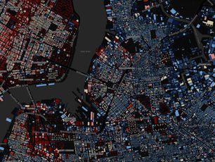
A Beginner’s Guide to Geospatial Analysis
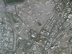
Geospatial analysis refers to examination of geographic data to gain insights and understanding of various phenomena on the earth's surface. It is an interdisciplinary field that combines geography, mathematics, statistics, and computer science to analyze and visualize spatial information. Here's a beginner's guide to geospatial analysis:
- Collecting Data: The first step in geospatial analysis is to gather relevant data. This can be done through various methods, such as satellite imagery, GPS, remote sensing, or by manually collecting data using surveys or questionnaires.
- Data Cleaning and Preprocessing: Before analyzing the data, it needs to be cleaned and preprocessed to remove any errors or inconsistencies. This includes tasks such as removing duplicates, fixing data formatting, and converting different formats into a standard format.
- Geocoding: Geocoding involves the process of assigning geographic coordinates to non-spatial data such as addresses or place names. This is important to accurately represent the location of the data on a map.
- Spatial Analysis: Once the data is cleaned and geocoded, the next step is to analyze it. Spatial analysis involves examining the relationships between different features on a map, such as distance, proximity, and spatial patterns. This can be done using various tools and techniques such as clustering, interpolation, and spatial regression.
- Visualization: Visualization is a critical aspect of geospatial analysis as it helps to communicate the results effectively. It involves creating maps, graphs, and charts that display the data in a meaningful way, making it easier for the audience to understand and interpret the results.
- Interpretation: The final step is to interpret the results of the analysis. This involves drawing conclusions, making predictions, and identifying patterns and trends. The interpretation of the results should be based on a solid understanding of the data and the methods used for analysis.
In conclusion, geospatial analysis is a powerful tool that can be used to gain insights into various phenomena on the earth's surface. By following the steps outlined above, beginners can start to analyze and interpret geospatial data effectively.