
July 12, 2023
Innovation
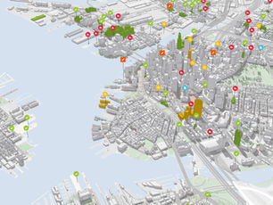
On the GIS path to Digital India
Digital India ? GIS ? The notion of Digital India and GIS are both alien concepts for us. With this...
July 12, 2023
Innovation
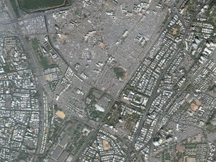
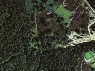
How Drone Mapping Paved Way to the World’s Largest Slum Land Titling Project
Social inequality among the rich and poor has been growing in all urban areas globally. Sustainable urban transformation demands renovation...
July 12, 2023
Innovation
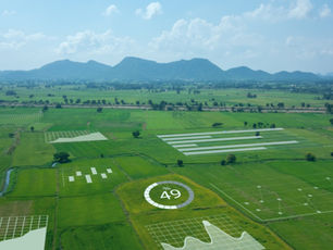
Smart Plantation
On 3rd May 2019 a severe cyclonic storm termed ‘FANI’ struck coastal Odisha causing destruction in 14 districts, 52 Urban...
July 12, 2023
Innovation
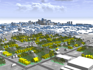
A Beginner’s Guide to Geospatial Analysis
Geospatial analysis refers to examination of geographic data to gain insights and understanding of various phenomena on the earth's surface....
July 12, 2023
Innovation
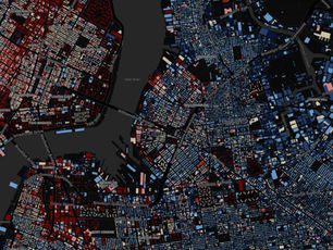
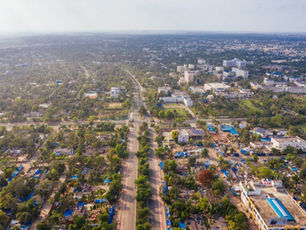
Critical Role of Geospatial Analysis in Urban Planning & Development
India is a rapidly developing country with a large and growing urban population. With this growth comes the need for...
July 12, 2023
Innovation
"Geo-referencing of Forests in India: Ensuring Effective Conservation and Management"
Georeferencing of protected forests in India can play a crucial role in ensuring the effective conservation and management of India's...

July 12, 2023
Innovation
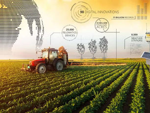
GeoAI in Crop Analytics: Revolutionizing Agriculture
Agriculture has always been one of the most important industries for human survival. Today, agriculture is facing new challenges, such...
July 12, 2023
Innovation
How Geospatial Analysis is Revolutionizing Business Decision-Making
Geospatial analysis is the use of location-based data to gain insights and make informed decisions. It involves mapping, visualization, and...
July 12, 2023
Innovation
"Jaga Mission: Securing Land Rights and Promoting Inclusive Urban Development in Odisha"
The Jaga Mission is an initiative launched by the government of Odisha in India to provide land and property rights...
July 12, 2023
Innovation
Potential of IoT in Geo-Spatial Sector
The Internet of Things (IoT) has the potential to revolutionize the geospatial sector by enabling the collection and analysis of...