July 12, 2023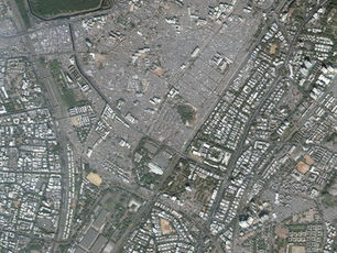
How Drone Mapping Paved Way to the World’s Largest Slum Land Titling Project
Social inequality among the rich and poor has been growing in all urban areas globally. Sustainable urban transformation demands renovation of informal settlements by allotting land rights, improving housing conditions, providing citizen-centric services and livelihood opportunities for the economically weaker sections.
Recognizing the need for land ownership for transforming slums into livable habitats, Government of Odisha notified the Land Rights to Slum Dwellers Act in October 2017. This landmark legislation aims at providing free of cost land rights to the economically weaker sections, limited to 30 square meters in Municipalities and 45 square meters in Notified Area Councils (NACs) for residential use, subject to assessment of tenability of the occupied land.
Though the legislation focused on removal of land ownership related inequality in urban areas, it was termed as “over-ambitious” by the government officials and slum dwellers. The skepticism prevailed due to the failure of similar urban welfare schemes including Rajiv Awas Yojana (RAY), Jawaharlal Nehru National Urban Renewal Mission (JnNURM) and National Land Records Modernization Program (NLRMP). The mandate to assign 200,000 land rights to landless appeared to be make-believe.
Shattering the Myth
The radical statute needed path-breaking innovations for the successful grounding of the scheme. Selecting an apt and innovative technological approach with highly accurate result posed the biggest challenge, as it not only involved raising the morale of officials for granting land rights but involved emotions of landless struggling for legal possession of land.
Government of Odisha in Housing and Urban Development Department initiated a consultation involving various stakeholders. Sir Ratan Tata Trust and Spatial Planning & Analysis Research Centre (SPARC) Pvt. Ltd. were invited to participate in the discussions.
Based on the rich experiences in land survey and settlement schemes (NLRMP, RAY, JnNURM etc.) in several states including Odisha, SPARC meticulously evaluated the survey requirements in more than 2300 slums in 109 Municipalities and NACs in Odisha.
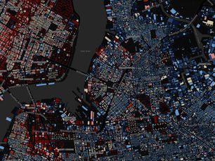
The tiny holding sizes (at times less than 100 sq.ft.) and congested slum layout required very large-scale mapping (about 1:100 scale). Adopting conventional land survey methods (differential GPS, total stations etc.) to prepare a correct settlement map was difficult due to complex layout and limited road access in slums. The very high-resolution satellite images also did not provide a clear picture of all the slum dwelling units. After judicious evaluation of technology alternatives, SPARC proposed an out-of-box solution of using micro-drones for fast and accurate survey and mapping of slum areas.
It will take a long time to revive the greenery of the cyclone-impacted areas. Revival of the greenery may not be limited to the above suggestions. Some fruit-bearing plants, besides providing food security, have also been found useful in ensuring green cover.
So far, drone was perceived as surveillance and monitoring instrument. Using drone for the redevelopment of slums had n