July 12, 2023
Use of Blockchain in Geospatial Technology
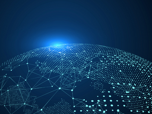
Blockchain technology is revolutionizing many industries, including geospatial technology. Blockchain is a distributed, decentralized database that records transactions and stores them in a secure and immutable way. The use of blockchain in geospatial technology has the potential to transform how we collect, manage, and share geospatial data. Here are some ways in which blockchain is being used in geospatial technology:
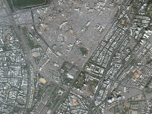
Data Management: Geospatial data is critical for many industries, such as urban planning, logistics, and environmental management. However, managing and sharing geospatial data can be challenging due to issues such as data quality, privacy, and ownership. Blockchain provides a secure and transparent way to manage and share geospatial data, enabling stakeholders to access and use data without intermediaries.
Smart Contracts: Smart contracts are self-executing contracts that are coded on a blockchain. Smart contracts can be used in geospatial technology to automate tasks such as data verification, validation, and sharing. For example, a smart contract could be used to verify the accuracy of geospatial data before it is shared with a third party.
Supply Chain Management: Geospatial technology is being used in supply chain management to track and manage goods as they move through the supply chain. Blockchain can enhance the security and transparency of supply chain management by providing a tamper-proof record of the movement of goods. This can help to prevent fraud, counterfeiting, and other issues that may arise in the supply chain.
Land Administration: Land administration is a complex and challenging process that involves managing land records, resolving disputes, and enforcing property rights. Blockchain can be used in land administration to provide a secure and transparent record of land ownership and transactions. This can help to reduce corruption, increase transparency, and streamline the land administration process.
Disaster Management: Geospatial technology is being used in disaster management to monitor and respond to disasters such as floods, earthquakes, and hurricanes. Blockchain can be used to store and share geospatial data related to disaster management, such as emergency response plans, evacuation routes, and shelter locations. This can help to improve the speed and effectiveness of disaster response efforts.
In conclusion, the use of blockchain in geospatial technology has the potential to transform how we collect, manage, and share geospatial data. By providing a secure and transparent way to manage data, blockchain can help to increase efficiency, reduce costs, and enhance the accuracy and reliability of geospatial data. As blockchain technology continues to advance, we can expect to see even more exciting possibilities in geospatial technology, leading to a more sustainable and secure future for our world.